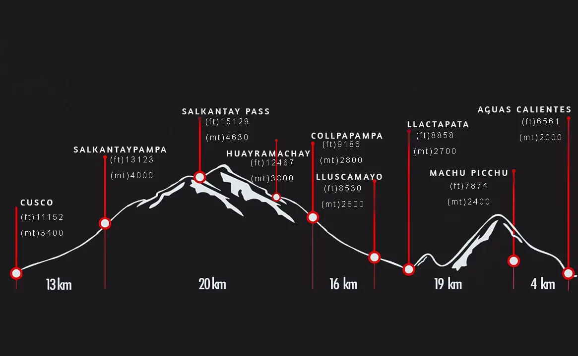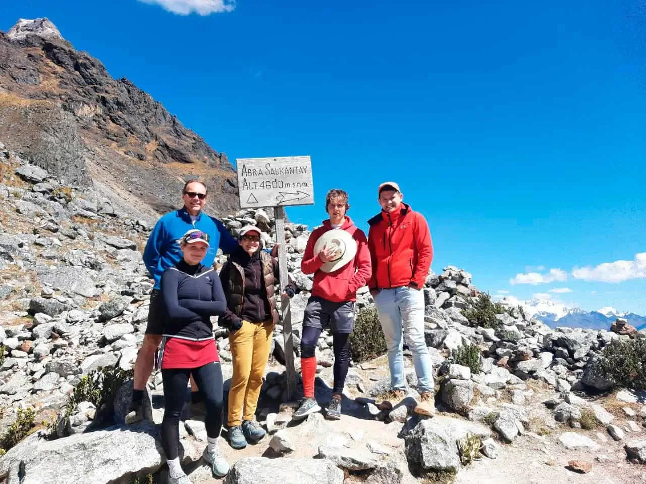
The Salkantay Trek to Machu Picchu passes through breathtaking landscapes ranging from cloud forest to high mountains. Throughout the trek, there are breathtaking views of the second highest mountain in the Cusco region, known as Salkantay, whose name in Quechua means "wild mountain" and reaches an altitude of 20,574 feet (6,271 meters). This trek to Machu Picchu passes through little frequented areas, fusing cultural richness and traditions with the amazing diversity of flora and fauna that characterizes Peru. The experience takes place in the authentic Andes, providing ideal conditions to gain a unique perspective of life in the region.
It is important to be prepared for weather changes, as the hike covers different altitudes and types of terrain. In addition, by passing through less traveled areas, participants have the opportunity to experience authentic Andean life and appreciate the unique flora and fauna of the region. The view of Salkantay, the second highest mountain in the Cusco area, adds an impressive element to this adventure.

| EXTRA | COST USD | REMARKS |
|---|---|---|
| 1 | Cusco – Soraypampa | |
|
|
|
| 2 | Soraypampa – Salkantay Pass - Collpapampa | |
|
|
|
| 3 | Collpapampa – Lucmabamba | |
|
|
|
| 4 | Lucmabamba - Hidroelectic - Aguas Calientes | |
|
|
|
| 5 | Aguas Calientes – Machu Picchu – Cusco | |
|
||

Commitment to quality, we have ISO 9001, ensuring excellence in our services.

With ISO 14001 we prioritize environmental sustainability, reducing our impact on the planet.

We are an official agency and tour operator, ensuring a unique and high quality travel experience.

Traveler's Choice Award in 2023, a testament to our dedication to exceptional travel experiences.