Inca Trail (the Spanish name of the Inca road system) in pre-Columbian South America was the most advanced and extensive transportation system. The routes and trails ran in Colombia, Ecuador, Peru, Bolivia, Chile and Argentina.
It was about 24,800 miles long or more than 30, 000 km! And now it is still in good condition after over 500 years of use.
The Incas built much of the system by claiming exclusive control over numerous traditional routes. The Wari Empire, a civilization that preceded the Incas, had paved some of these routes centuries earlier.
The network was based on two north-south roads with numerous branches.
The most important Inca road was the Camino Real, or Royal Road in Spanish, stretching 5,200 kilometres (3,200 miles). It began in Quito, Ecuador, passed through Cusco, and ended in what is now Tucumán, Argentina.
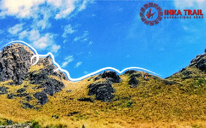
Climbing by the Inca Trail

The true extent of the road network remains unknown. After the conquest, the Spaniards destroyed parts of the road in some areas. In other regions, they allowed it to deteriorate under the hooves of horses and the metal wheels of ox carts.
Today, only 25% of the network remains visible. Modern infrastructure has destroyed the rest. Different organizations such as UNESCO and IUCN have been working to protect the network in collaboration with the governments and communities of the 6 countries through which the Great Inca Road passes.